Flood warning - Gwydir and Mehi
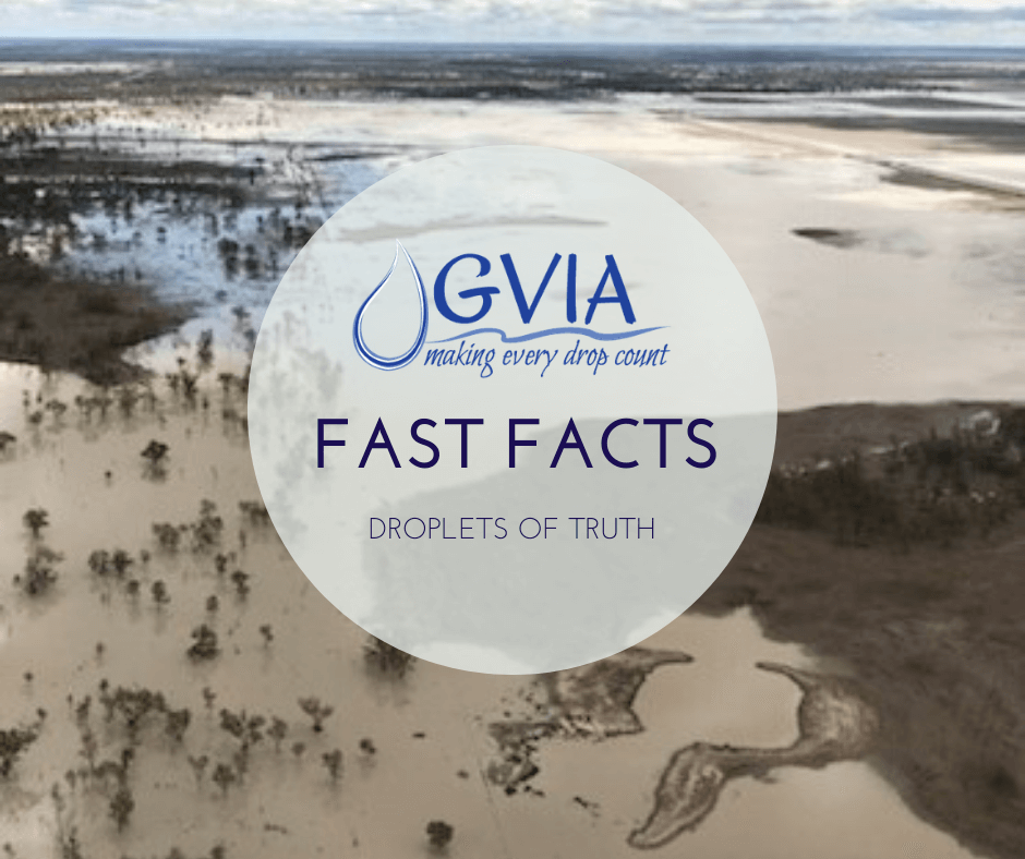
The Bureau of Meteorology have provided an initial minor to moderate flood warning for the parts of the Gwydir Valley via NSW warnings - http://www.bom.gov.au/nsw/warnings/flood/gwydirriver.shtml
The region is currently on a widespread flood watch for minor to major flooding due to forecasted rainfall around the region.
Use the above link to keep updated with the announcements and follow the stream height data.
For a comparison on past floods, see our webpage a History of Flooding.
For updates on Copeton Dam operations, which is under airspace management and adjusting releasing according to actual and forecast inflows,
you are encouraged to register for the Early Warning Network via WaterNSW the river operators.
WaterNSW Early Warning System
WaterNSW operate an Early Warning System for subscribers which provide critical water updates for the state. You can select your
valleys of interest when you register.
To receive these updates, which include any sudden changes in dam releases which occurred today, please see https://www.waternsw.com.au/supply/ewn.
Flooding in the Gwydir Valley
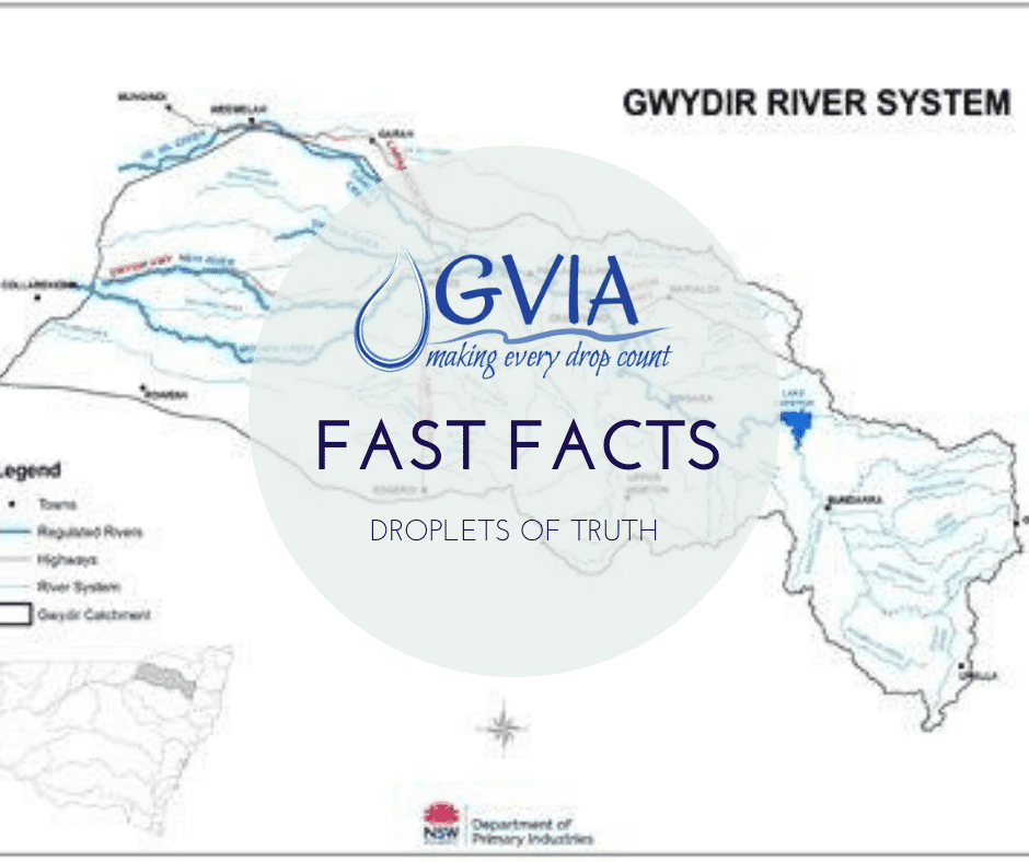
The Gwydir Valley is a distributary river system, which spreads our rivers and creeks across the Gwydir Floodplain which acts as a large
inland delta. Our rivers spill out naturally to these floodplains when they are full and spilling. Not every flood is the same, they
range in magnitude of height and duration and can occur from locally generated rain or from rainfall further upstream of the
catchment.
Recent flood warnings in December 2020 were predicted because of upstream rainfall and inflows. This was a short, sharp and small flow
which has created limited flooding. For example, the height at Pallamallawa was half of that experienced in 2011 and 2012 when the
entire north-west was in flood. This flow also didn't contain a lot of water but its peak flow rate at Pallamallawa of 33,000 ML/day was
still higher than the operating capacity of the regulator and cannot be managed. Rather this water flows naturally, unmanaged by
WaterNSW to the watercourse the lowest point of our inland delta and towards the Gwydir Wetlands.
The No. 1 website for NSW Metering Rules
Understanding the changes to the NSW Metering Rules for non-urban water users can be a challenge and often the information is spread across
a number of Department and industry sources. We have found, the most central point to visit is WaterNSW Metering page https://www.waternsw.com.au/customer-service/water-licensing/metering#stay
It has the three steps you should take and all the links to the forms, the rules and the Departments Metering Guidance tool which we
encourage you to use. But importantly, its WaterNSW who manage the implementation and integration of the new rules on the ground, they
collect information from your Duly Qualified Persons and they administer the licensing database if you determine you need to make
amendments. In most cases it is WaterNSW you will need to speak with about metering as they are the customer liaison group,
plus they have a customer hotline 1300 662 077.
It is this website that features heavily in our video series on metering.
Water is allocated to licences not crops
When water availability is higher than requirements for critical needs, the WMA Act 2000 and local water sharing rules provide a framework
to share that additional water between industry and the environment. Allocations are the physical water that maybe provided under
these sharing rules. The volume of allocation made available to an individual is determined by the total volume available to be
shared. This volume is divided by the number of shares that individual is licenced for.
Water is allocated based on these principles and is not allocated to a specific crop. Individuals make the decision on what crop to grow
with the allocation they receive.
There is a range of different irrigated crops grown in the Gwydir Valley, including cotton, horticulture and lucerne. We are home to the
largest pecan farm in the Southern Hemisphere and one of Australia's largest juicing orange orchards. Farmers have even tried hemp,
it is not currently a viable option, but may be in the future.
Connectivity between North and South MDB
The Darling River in the northern basin contributes on average about 14 per cent of the total flow in the River Murray (the southern basin)
at the point where the Darling enters the Murray.
In reality, most years do not deliver an average contribution from the Darling River. Averages mask extreme fluctuations in Darling flows,
which are driven by the ephemeral and dynamic, boom and bust nature of rainfall in the northern Basin.
This means that major changes to inflows from the northern basin have only minor impacts on total Murray inflows. For example, DPIEW
recently stated in an update to stakeholders that a 10% reduction in inflows from the Lower Darling would result in only a 1.4% reduction in total inflows to the River Murray.
The greatest influence on NSW allocations is the flow from the upper Murray catchments.
Floodplain harvesting
Floodplain harvesting is the capture and use of overland flow water flowing across a floodplain during a flood. Farmers everywhere in
NSW (north and south) capture over land flow water as part of their works approval requirements to store rainfall on farm to mitigate
environmental impacts. Farms are specifically designed for this purpose.
Farmers on floodplains have flood protection works designed to exclude overland flow outside of the developed area, to protect their crops,
homes and farm infrastructure from damage.
Overland flows generally occur only when there is major flooding. If there’s no flooding, there’s no floodwater to capture. There was
localised flooding in the Namoi and Lower Gwydir Valleys (Mehi region) in February 2020, this was the first event to occur in both those
regions since 2011 and 2012, back when Menindee Lakes was full and spilling. The Gwydir had moderate flooding in Spring 2016 and Menindee Lakes filled to 92%.
Water Take Measurement
The GVIA supports that all water take should be measured with the majority of take to be metered through highly accurate devices. All
measurement must be auditable, verifiable and within accuracy requirements. We know active irrigators in our region adopt the most accurate technology commercially available.
In November 2020, the first site in the Gwydir went live on the new NSW Government Data Acquisition Service.
What is overland flow?
The Water Management Act 2000 in Section 4A describes overland flow as water including floodwater, rainfall runoff and urban stormwater that his flowing over or lying on the ground as a result of rain or any other kind of precipitation. That means that anyone who has infrastructure developments to capture, manage and/or store water on their farms and who irrigate with this water, can also be collecting overland flow, not just those in the five northern valleys who are "floodplain harvesters". This definition is regardless of any other requirements of other NSW regulations (such as the NSW EPA Act) and various licence conditions, to capture and retain water on farm to avoid environmental impacts.
Read MoreWater Act 1912 and the Water Management Act 2000
Unfortunately in NSW there are a few remaining long-term legacy issues, the fact water management is coordinated through two legislative
frameworks is one of them. That means that some approvals, rules and extraction is managed according to rules within the original NSW
Water Act 1912 but the majority are within the contemporary regime of the NSW Water Management Act 2000.
Government inaction has meant that the majority of irrigation infrastructure and flood work approvals are yet to be converted into the new
legislative framework. This has been an on-going issue for more than 20-years. But this is important when considering the
"legal status" of floodplain harvesting in NSW, which is one of the last forms of extraction to be converted from the descriptive
allowances in the Water Act 1912 into volumetric licences in the Water Management Act 2000, which is due for completed next year. Just
because its not managed or represented within the Water Management Act, doesn't make it illegal, if its allowed under the Water Act
1912.
This is why its important the Healthy Floodplains Project is completed on time next year, to bring this historical form of extraction into
the same licensing framework as others and enable government to better regulate, measure and report on it. Its proper implementation
will cap extraction within historic limits, ensure the sustainability of the industry but also leaving more water on the floodplain.
GVIA a united voice for our industry
The GVIA represents in excess of 450 water entitlement holders in the Gwydir Valley. The organisation works to represent the interests of
our members and secure a viable future for our region through ensuring water rights are protected and water use by members, the environment
and our river operators is efficient and sustainable. We work together to build a better future for our region and make every drop
count.
Our role provides a voice for our industry and region to decision makers, our local community and the broader public. This can involve
writing and commenting on policy proposals, inquiries and participating in meetings with key stakeholders including Ministers and Department
staff. We take seriously our role in improving grower research and innovation in our industry.
Zero allocations for non-critical water users
Irrigators in the Gwydir Valley have had zero allocation of general security or supplementary water this year. A small limited announcement was made last week. Any irrigated annual crops being grown this season are grown on groundwater. No general security water was permitted to be delivered this year. Permanent plantings are supported by high security water which was delivered via bulk releases and groundwater.
Read More
